Hallo Everyone, let's continue the news recap and also inform you about latest changes.
First off all there are new contourlines for Denmark, Norway and Finland and Sweden. They are fully based on viewfinderpanoramas.org 1" data - so very high quality. However for Sweden only the 50km bordering Norway are actually excellent quality. The rest is based on 3" data.
So good news for your next trip to Scandinavia. Hopefully soon viewfinderpanoramas.org will update the data for the Alps too - then I will of course also update the contourlines in the Alps.
Also I went through OpenMTBMap and VeloMap websites and made sure no more broken image links are present anymore. So the map legend and the screenshots are updated (lesson for me - never upload any images to image hosters - or expect them to be deleted after a couple of years).
I'm thinking of upgrading the layout of the websites end of this year - but still some time to go.
Lots of work on removing obsolete fixme=incomplete arrows in the maps. Now it should really only be used if a highway is not fully entered in OSM database and also some more stringent requirements when fixme=continue or noexit=no are shown with arrows in the maps.
Again more work on transliteration.
Highway=unclassified was shown with highway=residential color in resolution 23. Fixed for both OpenMTBMap and VeloMap
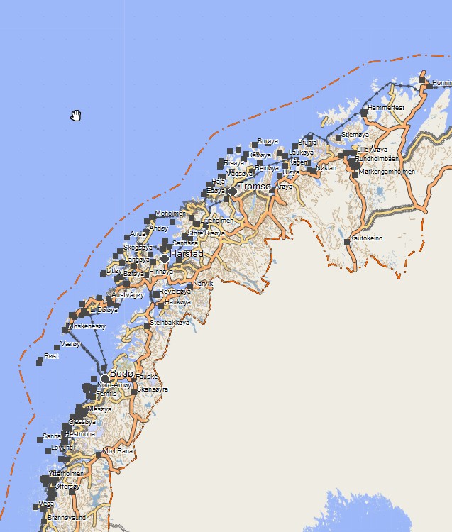
Here's a screenshot of North Norway with the new contourlines (well to be frank - you won't notice on the overview- but if you zoom in then the higher quality is quite obvious).
Recap of older Changes
fix bug on unclassifieds roads that are part of mtb route and shown as track...
Another big change - especially important for well developed countries is that there is now a new layout for unpaved primary/secondary/tertiary/unclassified/residential roads. I will still optimize this a bit in the future though. However since 3 weeks it should be clear to anyone if for example a tertiary road is not paved.
I still think that the OSM key smoothness is a much better tag to indicate road condition for cycling than tracktype. Of course I convert the values to tracktype - trying to make sure that a grade1 is always paved, a grade2 is a compacted surface (e.g. good condition gravel) and so on. However I mainly relied on smoothness if available to do so. Badly though I must say I noticed much more errors on smoothness values than on tracktype values. Therefore I now treat both keys as same important - and use them much stronger for errorchecking.
Also I reworked the surface key in order to better classify tracks and trails - inocorporating many new values
OSM changed the way forests and wood are described. I therefore uncluded the new keys Leaf_cycle and Leaf_type in order to classify wood/forest/scrub. I keep on using the standard european map layout with mixed, deciduous and coniferous only though. Also for a long time natural=wood without wood=.... was omitted in resolution 21 in the maps. Fixed this.
Lots of countries got improved address search by incorporating the local rules better.
Service=high_speed for highspeed trains (plus rework of other keys that identify high speed railway lines), and better identification of big rivers/canals.
Rework of naming of peaks and summits.
All maps now have integrated contours - also Asia. So for any country (on windows) the installer will automatically install the contourlines. Long time this was not true for Asia.
Many many more fixes and changes were done. OSM is constantly evolving, and so are tagging practices. I try my best to constantly reflect this.
Oh - and I noted I haven't been mtbiking much lately. Will need to do much more. Maybe something similar to this trip report I stumpled on (also with OpenMTBMaps of course):
https://www.mtb-news.de/forum/t/solo-alpencross-2014-in-suedtirol.716888/


Leave a Reply
You must be logged in to post a comment.