- High Contrast layout optimized for small size screen of Garmin GPS (1.8-4"). Clear differentiation between all street types. Separate low contrast Layout for tour planning on your PC/desktop.
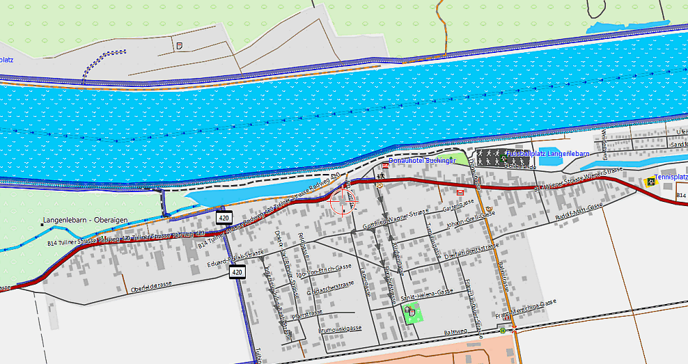
- Paved or Unpaved? Easy to spot road type. Bridges and tunnels shown. Cycle tracks and cycle lanes shown. Arrows for one way streets...... See the map legend for more.
- Cycle relevant information like drinking water, city bike stations or bicycle shops searchable and shown prominently.
- Cycle routes shown prominently BESIDES the streets differentiated by colour and size based on importance (other maps show cycle routes instead of streets so that you don't know what kind of street the route is on, bad for planning).
- Navigation - Highly sophisticated Autorouting specialised for cycling. Don't cycle on big streets anymore because you got lost. The VeloMap focuses very strictly on road cycling, commuting and touring/trekking. Maps trying to focus for many purposes can never be as good.
- Easy installation to Garmin Mapsource, Garmin Basecamp or Qlandkarte GT for on PC planning.
- Good Documentation because everything you want and need to know for using the maps is found on VeloMap.org
- Contourlines based on the best free (as in beer) data - viewfinderpanoramas.org - as separate download for most countries. Much higher quality in mountainous regions than the mostly used void filled SRTM3".
- Map Incomplete? You can participate and Add missing to Openstreetmap. Every Week the maps become better and more complete! If you think anything "bicycle relevant" features are missing (but recorded and documented in OSM), drop a comment and I will try to add it.
New Here?:
Lots of information, don't get lost, Get Started!
Navigation - Find the shortest nice route -- or find the most cyclefriendly route.
Garmin offerst two seperate Autorouting modes supported by all GPS and Software. Shorter Distance will actually be shorter than on any other Garmin map I have tried (even though high traffic streets are avoided). Faster time finds nicer routes with even less traffic and makes some detours if needed. Autorouting using Mapsource 6.16 or Basecamp v3 up to 200km trip distance without via-points. Around 100-150km with Oregon/Dakota/2010_Generation_etrex/GPSmaps. If you route over longer distances, cities are avoided except for cycleroutes crossing cities.
Map Layout
Clean map layout 100% optimized for readability on GPS. Be assured that on the GPS maps therefore are very well readable. As for desktop use the layout has too much contrast, there is a second layout optimized for planning with Mapsource/Basecamp/Qlandkarte GT.
You can Improve the Maps!!
These maps are based on the freely available wikipedia like Openstreetmap Map Database. You should consider uploading your GPS tracks to openstreetmap and/or help out if you find errors or missing data. There is a short introduction here listing the most relevant links to get you startet: Participate
Who can make use of the maps?
The maps offered here are of course, currently primarily used by Garmin GPS users, but you don't need to have a Garmin GPS to use them. Qlandkarte GT an opensource and freely available Map Viewer can display them in all their pride, and also if not owning a Garmin GPS or buying maps from Garmin you can install the free Garmin Basecamp or Mapsource software and enjoy autorouting like you have not enjoyed before.
Need a map for Mountainbiking or Hiking?
Head over to https://openmtbmap.org and get it. Whereas the VeloMap showss non paved tracks and trails in very subtle colors, on the OpenMTBMap you can see difficulty gradings both for Up- and Downhill. Also mtb and hikingroutes are prominently shown.


Recent Comments